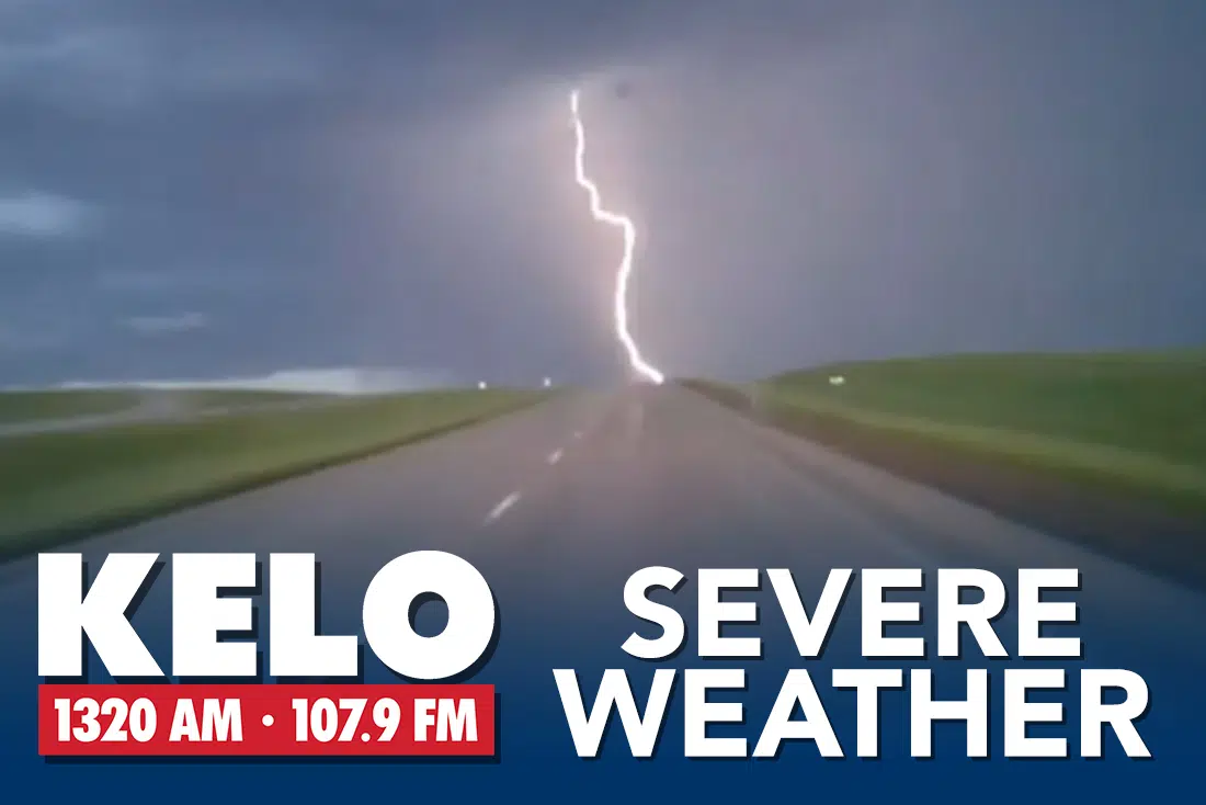
SIOUX FALLS, S.D. (KELO.com) — The National Weather Service has issued a Hazardous Weather Outlook for the KELO Radio listening area.
.DAY ONE…
Today and Tonight South winds will gust to 35 to 40 mph through the day. Showers and thunderstorms are expected to develop this evening and become more widespread after 9 pm. The main threats from these storms will be hail to half dollar and wind gusts to 60 mph. Locally heavy rainfall will also be possible with amounts around 2 inches possible.
.DAYS TWO THROUGH SEVEN…Friday through Wednesday Thunderstorms may be possible again Monday into Tuesday. While confidence is low, there may be a risk of severe storms.
Below is a Tweet from the Sioux Falls National Weather Service.
Stay tuned to KELO Radio for the latest on our late summer weather.
Are you prepared for strong to severe thunderstorms this evening and overnight into early Friday morning?
Here’s our latest storm outlook from about 7 pm to 5 am. The greatest risks would be damaging winds up to 70 mph, and hail up to the size of half dollars. pic.twitter.com/fsBscgnx9T
— NWS Sioux Falls (@NWSSiouxFalls) September 16, 2021


